blah blah blah
Mt. Wonalancet and Hibbard Mountain
Length: 5.2 miles out-and-backDifficulty (click for info): Hard
Elevation Gain: 1980 feet
Rating (click for info): 5/10
Elevation: 2780' (Wonalancet) and 2940' (Hibbard)
Prominence: 200' (Wonalancet)
Driving Directions:
Trailhead and parking area are on Ferncroft Road in Albany, NH (summit is in Waterville Valley). Ferncroft Road leaves Rt. 113A at a sharp curve in the road, 6.7 miles north of its western junction with Rt. 113 and 6.5 miles north of its eastern junction with Rt. 113. The large dirt parking area is half a mile down Ferncroft Road, on the right.
About the Hike:
A small wooded ridge sometimes referred to as the "Wonalancet Range" forms the east wall of The Bowl, a huge heart-shaped valley of virgin forest. Not quite a "range", this minor ridge has only a few significant peaks. Most notable is the sharp summit at the end, Mt. Wonalancet, which has fine views of Mt. Chocorua and eastern NH. Further up the ridge is former 52-With-a-View summit Hibbard Mountain, which now has only a limited viewpoint from a small cliff. Its name is deceiving, because it is by no definition a mountain; it is a tiny knoll (prominence about 40') on the ridge below a more prominent peak, the Wonalancet Hedgehog. The real prize is the viewpoint on Mt. Wonalancet, reached by a very rocky climb, but both viewpoints are worth a trip together.
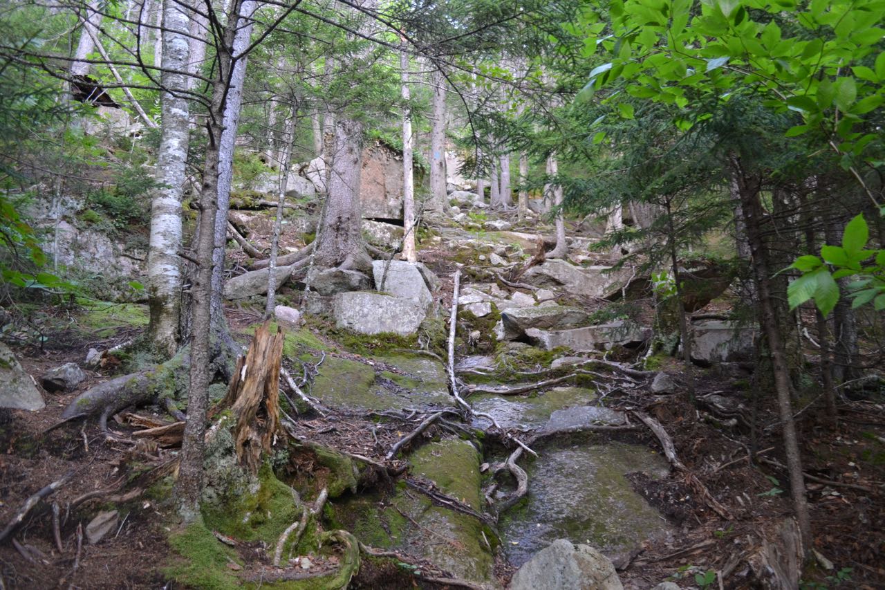
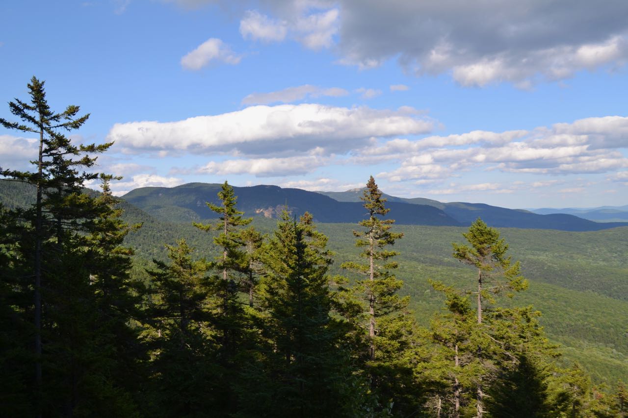
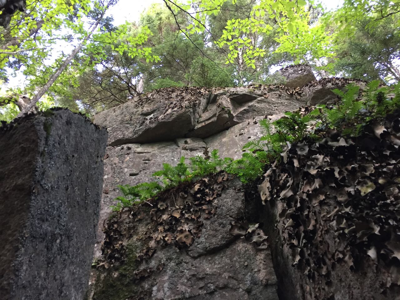
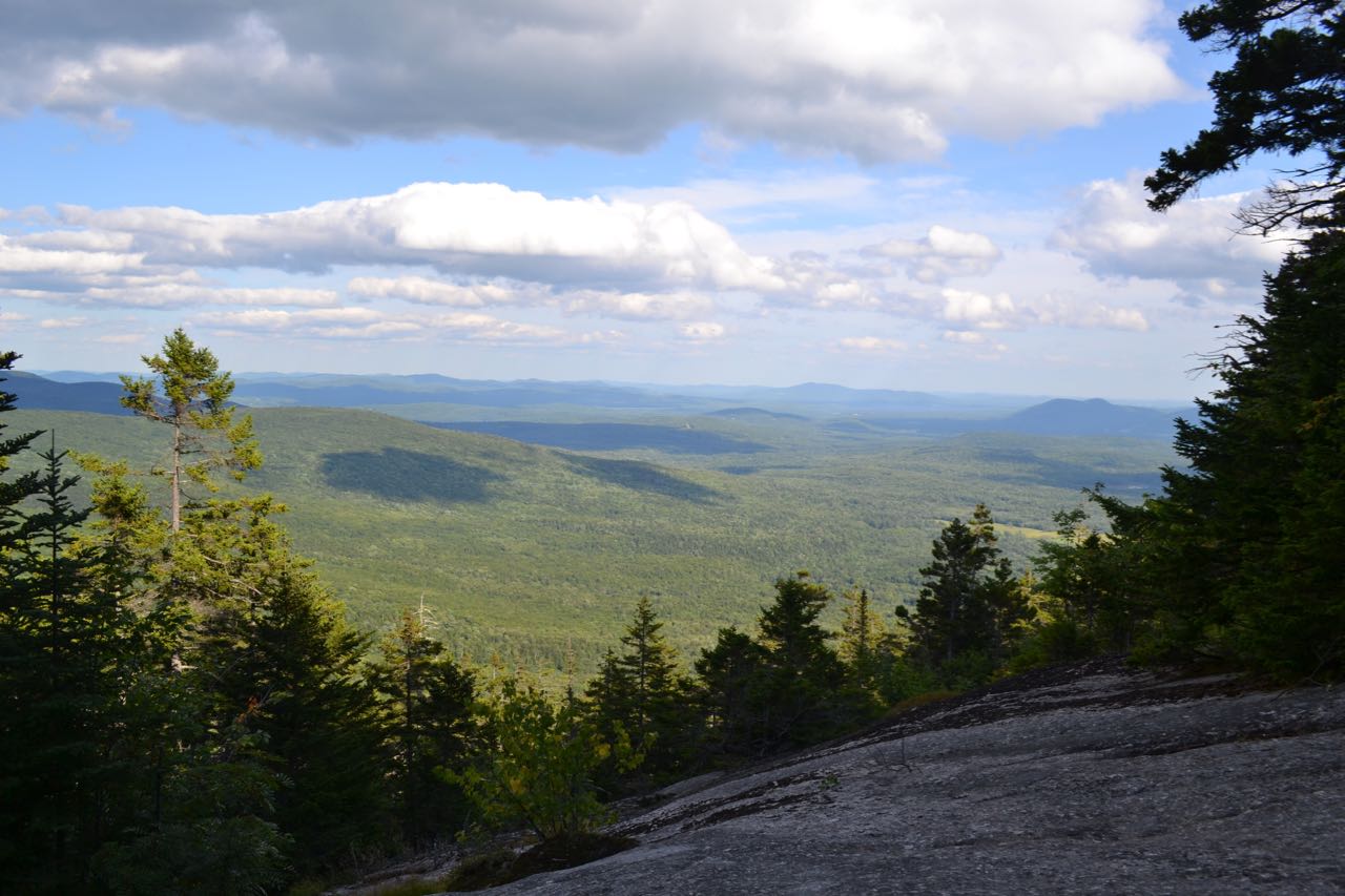
The hike begins at Ferncroft, one of the White Mountains' most major trailheads. Walk to the far end of the parking area (opposite the road) to the gated woods road. Go past the gate and fork left onto Old Mast Road. Walk for less than 0.1 miles, then turn left onto Wonalancet Range Trail just before a bridge over Spring Brook. This trail quickly turns and climbs up to the bank above the brook and heads straight through a hollowed-out passage. The trail soon bears right and begins its moderate climb along the side of a ridge coming down from Mt. Wonalancet. It stays in a very straight line for the next 0.8 miles. Along this section, the trail becomes increasingly bouldery. At 0.8 miles from the start, the trail passes a sign marking the boundary of the Sandwich Range Wilderness. In 0.3 miles from the sign, the trail quickly becomes much steeper, climbing some steep, rocky pitches. At 0.7 miles from the sign, the trail forks into two branches, one going over the summit of Mt. Wonalancet and one bypassing it. Turn left at this junction to climb over Wonalancet now; you can return on the other, shorter route. This route of the trail continues the steep ascent over very rough terrain, arriving at a large, sloping ledge from which you have great views. The trail follows the right side of the ledge; the best views are seen from the top, where the trail returns to the forest. Mts. Paugus and Chocorua are seen over sparse trees on the left. The center of the view extends to cover an undistinguished range of small mountains in the towns of Eaton, Madison, and Freedom, and extending across into Maine. Green Mountain stands alone to the south of this range, and some of the Ossipee Range is seen on the right side.
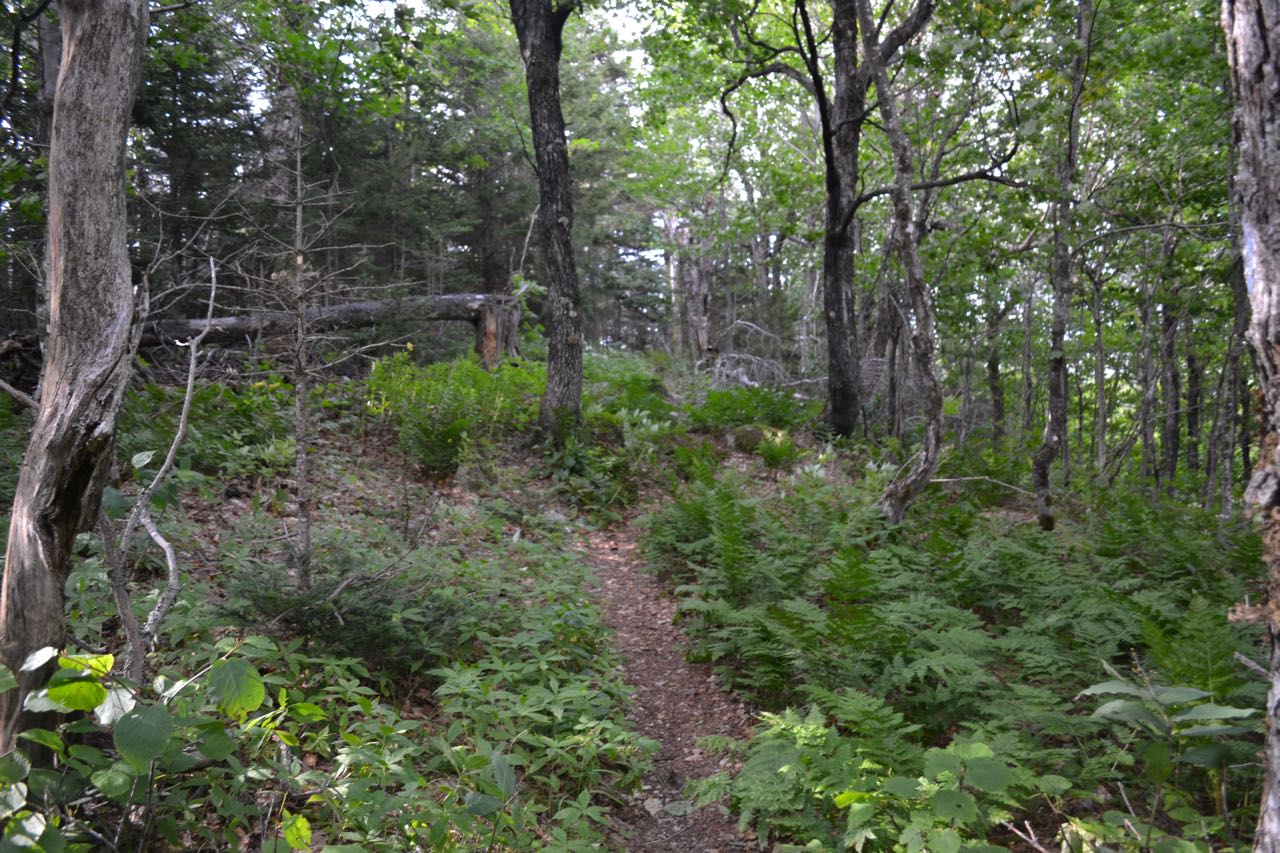
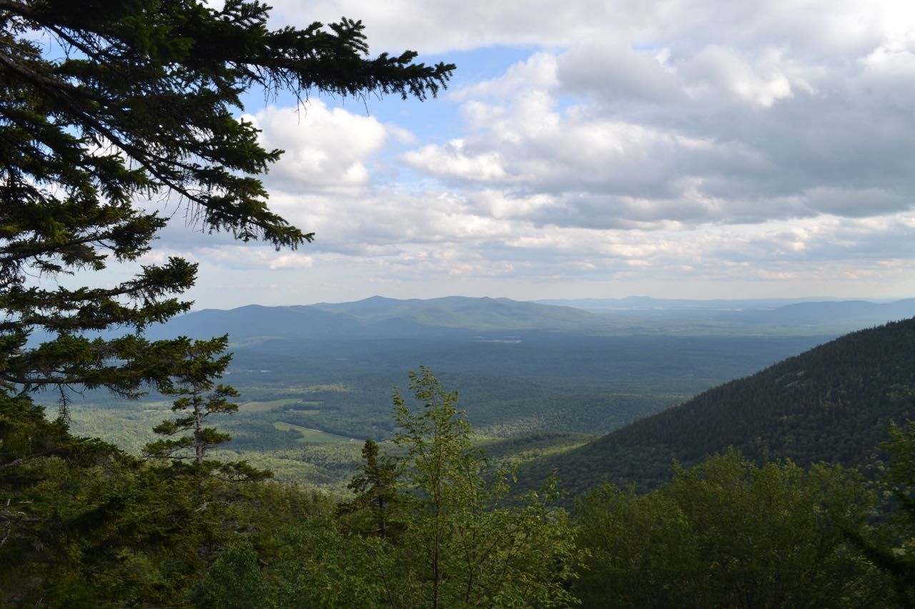
The trail continues climbing beyond the ledge, but soon flattens out, making a sharp right turn to head across the flat, ferny summit in 0.3 miles past the ledge. Continue ahead as the trail makes a gradual 200-foot descent to rejoin with the other fork of the trail in 0.4 miles. Continue upward for half a mile on a moderate climb to Hibbard "Mountain". As you approach the top, look for an unmarked path on the right, which leads a short distance to the top of a small cliff, guarded by a lone tree. From this forested outlook, you can see the whole Ossipee Range, as well as the distant Belknap Range. Over the trees to the right, you can see the round summit of Wonalancet, where you came from. On the way back down, remember to take the left fork at the junction to avoid climbing back over Mt. Wonalancet. This is an easier option, descending 0.4 miles across the slope past some cliffs to rejoin the other route.
Printable directions page